


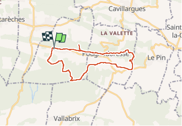
La Bastide D’Englas Pougnadoresse

alinetpierre
User

Length
14.3 km

Max alt
256 m

Uphill gradient
216 m
Km-Effort
17.2 km

Min alt
165 m

Downhill gradient
215 m
Boucle
Yes
Creation date :
2024-11-01 08:06:41.0
Updated on :
2024-11-05 07:35:48.371

FREE GPS app for hiking
 SityTrail
IGN / Geographical institutes
SityTrail Plus
The world is yours!
About
Trail of 14.3 km to be discovered at Occitania, Gard, La Bastide-d'Engras. This trail is proposed by alinetpierre.
Description
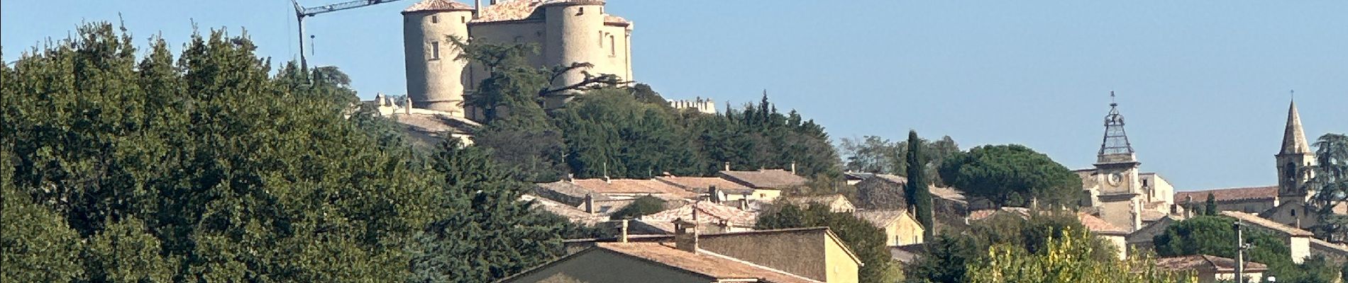
Superbe randonnée automnale
Photos


Positioning
Country:
France
Region :
Occitania
Department/Province :
Gard
Municipality :
La Bastide-d'Engras
Location:
Unknown
Start:(Dec)
Start:(UTM)
617717 ; 4883452 (31T) N.
Comments